Map Interface & Field Drawing
The interactive map is the heart of GroundedAg. Use it to visualize your fields, draw boundaries, and mark observation locations.
Accessing the Map
Tap/click Map in the navigation (bottom bar on mobile, sidebar on web) — it's the screen you land on after logging in.
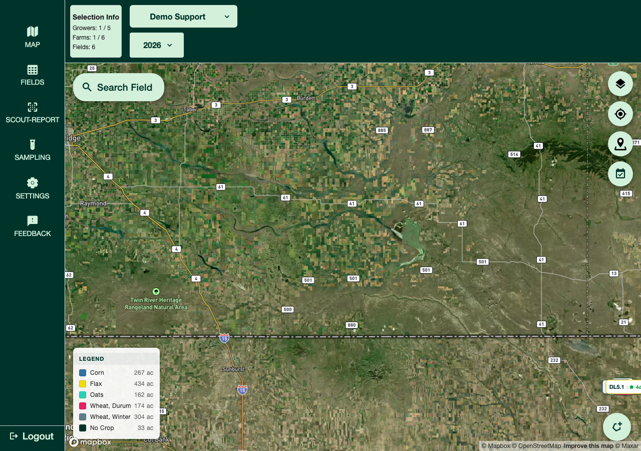
Map Controls
Navigation:
- Zoom In/Out - Use pinch gesture (mobile) or scroll wheel (web)
- Pan - Drag to move around the map
- Recenter - Tap the location button to center on your current position (mobile)
Layers & Display:
- Change Basemap - On web, switch between Satellite, Light, and Outdoors map styles
- Zone Maps - Open the Layers panel to toggle visibility, opacity, labels, and color scheme for any zone maps on your account
- Toggle Scouting Dates - On web, show a "days since last scouted" badge next to each field's name (not shown to Grower accounts)
Drawing Field Boundaries
Method 1: Draw on Map
- Use the map's drawing tool to place points and trace the field's boundary
- Close the shape
- Fill in Grower, Farm, Field Name, and optionally a Legal Description in the Create Field form
- Save
Method 2: Upload Shapefile
You can also upload a shapefile to bring in a field boundary instead of drawing it by hand. After the boundary loads, you'll fill in the Grower, Farm, Field Name, and optionally a Legal Description — crop assignment is separate, done afterward from the field's action menu (Crop Planning).
Method 3: Edit Existing Field
- Tap on a field boundary on the map
- Select "Edit"
- Drag points to reposition boundary, or add/remove points
- Tap "Save" when complete
Adding Observations
Observations aren't placed by tapping the map — inside a scouting report, tap "Add Observation" to search your organization's list of known weeds, insects, and diseases (or type a new pest name if it's not listed yet), then fill in the details and save. See Your First Scouting Report for the full walkthrough.
GPS Location (Mobile)
On mobile, enable device location services so the map can show your current position while scouting — useful for confirming you're standing in the right field.